


By Joseph D’Aleo, CCM, AMS Fellow
Early snowstorms and cold have been in the news here in the US and UK. Models have more snow and winter-like cold in their forecasts for mid November. What about the winter?
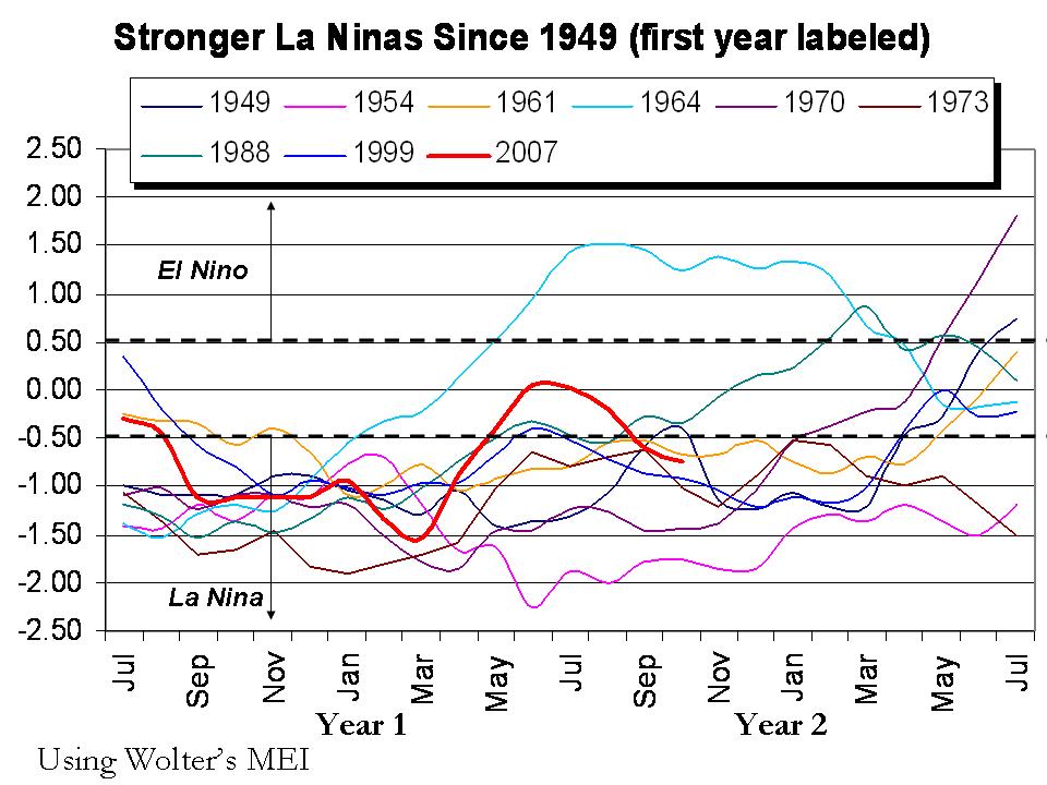
La Nina is gradually returning. The Multivariate ENSO Index (MEI) has dropped to -0.74 in October, well into weak La Nina territory. The tropical Pacific sea surface temperatures all the way from South America to beyond the dateline are back below normal. The North Pacific as a whole remains strongly in the cold mode (negative PDO). The Atlantic is weakly in its warm mode (Atlantic Multidecadal Oscillation is positive). The sun recently showing slight signs of life is still at solar minimum levels. The winds in the stratosphere over the tropical Pacific are blowing anomalously westerly) in their Quasi Biennial Oscillation.
All these conditions point to another cold winter in all but the southeastern United States, most of central and western Canada, most of western Europe, eastern and southern Asia. Expect a coolish summer in South Africa, Indonesia and South America and parts of New Zealand and Australia.
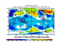
See larger image here
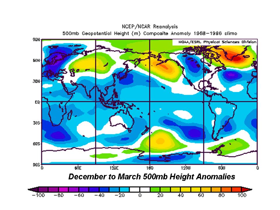
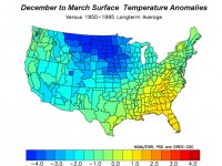
See larger image of US temperature anomalies (F) here
We are already seeing early cold and snow in the northern Rockies and Plains and even in the UK. Cold weather appears to be in the cards for eastern Asia the next week or two. Blocking high pressure seen above in first figure in the North Atlantic is what will keep northwest Europe and the eastern United States cold. Snow should be heaviest relative to normal from the northern and central Rockies, northern and central Plains, Ohio Valley to the Mid-Atlantic and southeastern New England. Snow to north should be less than last year but snowcover will be most persistent there.
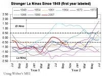
WHAT TO WATCH FOR: Should La Nina become stronger than expected, the southeast warmth will be more pervasive and extend further north and west the second half of winter. That is the classic pattern in west QBO La Ninas. However, most strong La Ninas as was the case last winter reprise in a weakened form the second winter especially if they weakened as much a this one did during the intervening summer. The maps about are based on that assumption.
See larger image here