


By Joseph D’Aleo, CCM
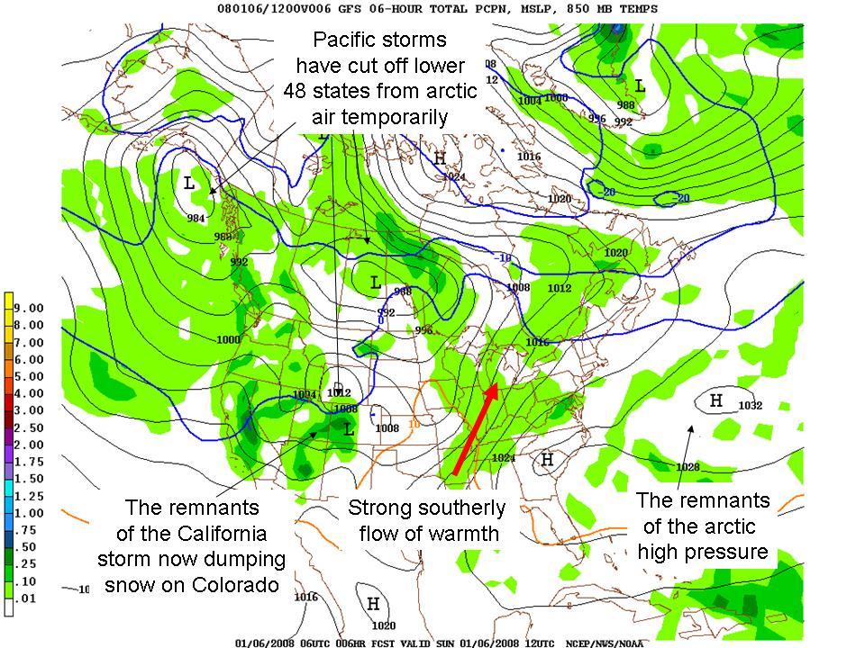
As we have been noting a warm-up (a January Thaw) will help clear ice and snow from driveways of the Midwest and Northeast early this week. This warmth is the result of a return southerly flow behind the big arctic high that brought frigid temperatures to the east and central and even record cold to parts of the deep southeast and ahead of the series of ferocious but now weakening storms coming out of the western states where huge 8-10 foot accumulations of snow and powerful winds and flooding rains were in the news this weekend. Today it is dumping many feet of snow in the Colorado Mountains bringing smiles to skiers and ski areas there.
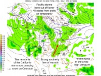
See full size image here.
Further east, I would not at all be surprised to see some record highs fall. In New York City’s Central Park 60 and even 70 degree temperatures have been reported on most days in January as far back as the 1870s. It could happen this week. No doubt it will allow the Green Network’s Today show alarmists to announce it is another manifestation of global warming. But winter will start returning the middle and latter part of this week and will deepen as the month progresses. They will have some ‘splaining’ to do come the end of week 3 when the frigid winds blow down the big apple canyons again. Of course alarmists have cleverly positioned themselves so that extremes of any kind (warm or cold, wet or dry are all the result of global warming).
The storm track will gradually lift north over the next two weeks as a ridge builds north off the west coast in response to lots of convection now in the western Pacific. This will shut off the flow of Pacific air into North America and draw down the bitter cold arctic air that has been trapped in Alaska and the arctic. If the warming now showing up in the high atmosphere on the fringes of the arctic makes its way to the pole this cold pattern will lock in and make February cold. These mid-winter polar high level warmings are more likely in solar minimum winters with an easterly Quasi-Biennial Oscillation, a high atmospheric flip flop of winds over the tropical Pacific, the case this year. As the cold air returns, expect the snow to come back with it in places which have had it and will lose it this week and places that have been left out. See full pdf here.