


By Joseph D’Aleo, CCM
Late Thursday Update: See this story on the new snowstorm for the Midwest. The cold will abate early in February as we have been saying but expect a new arctic blast and snow even maybe further east early in week 2.
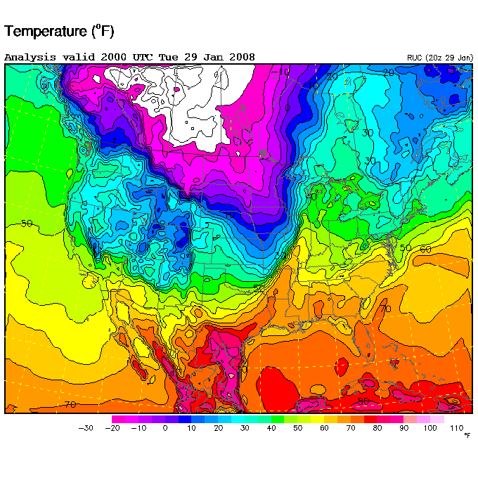
Late Wednesday Update: It dropped to 0F in Kirksville, MO this morning down from 55 yesterday. In St. Louis, the drop was from a high of 73F to 11F this morning. Wind chills were as low as -57F in Grand Marais, MN. The front created chaos as it came east last night and today before losing its punch in the northeast. The next storm will lift northeast with heavy snows perhaps as far west as Chicago and St Louis and east as the eastern Great Lakes.
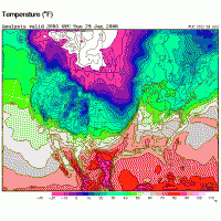
Tuesday’s Post: An arctic front is whipping through the central states this morning with drops of 40 and 50 degress in the matter of hours. In Kirksville, MO at 7am when folks headed off to work and school, it was a balmy 55F. By 1 pm as they were at lunch, it was a frigid 14F with 24 mph winds bringing a wind chill of -4F with light snow and blowing snow. At 2 pm it was down to 12F. The change is even more dramatic considering yesterday it reached 65F there. The low tonight is forecast to be 5F. Big drops like this were common throughout the plains and midwest and will be the case through tonight as the arctic front sweeps east.
See full size image here.
That cold front will put an end to the brief warm up as it sweeps east but the cold will moderate in transit. the readings well below zero in the upper midwest tonight will be much less severe as they come further east. Last week we talked about how the oscillating wave in the tropical high atmosphere called the MJO often affects the location of warming and cooling as it traverses the globe in an a somewhat erratic and irregular fashion. It is current roughly entering the same location where it was when the warmth was felt in the east and central earlier in January though this time the MJO is weaker so the warmth may not be as anomalous. This will likely mean above normal temperatures will dominate the next week to 10 days especially in the east with storms tending to curl west and bring rain and the warmest days. That track will mean the heaviest snows in places like Chicago and Detroit. After that, the cold should shift more to the east along with the threat again of snow for the east.