


By Joseph D’Aleo
December and January have seen the greatest snowcover for the Northern Hemisphere in the record (back to 1966). It beats out 2009/10 in second and 1977/78 in third place and 2007/08 in fourth place (source: Rutgers snow lab). Notice the UPWARD trend over the period of record.

Alarmists and their enablers in the media want to blame excess moisture due to global warming. As the Goracle himself puts it “Snow has two simple ingredients: cold and moisture. Warmer air collects moisture like a sponge until it hits a patch of cold air. When temperatures dip below freezing, a lot of moisture creates a lot of snow.” And even NOAA’s Overland gets in on the obfuscation by using the same reason for the snowy cold winters the last few years as the mild, snowless winters in 2004 in this Steve Goddard post.
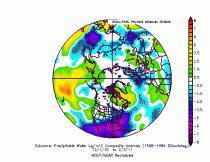
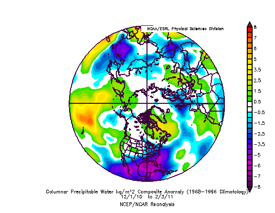
But cold air hold LESS moisture not more and indeed the average anomaly of precipitable water from the surface to 18,000 feet (500mb) from December 1, 2010 to February 3, 2011 is below the long term average (blues and purples) in the region where the snow has been anomalously heavy - northern Europe and central and eastern United States.
You get record or anomalous snow from unusually cold air unusually far south not unusually warm air unusually far north.
By the way, in Vermont, the “Vermont State Police in Rutland have reported a record number of “lost” skiers at Vermont ski resorts and backcountry ski areas since December. Heavy snowfall and whiteout conditions have added to the problem of skiers losing their ways on area mountain slopes.” Like the alarmists, they have lost their way.
----------------
The Snowstorm of February 1-2, 2011 - Select Pictures
By Joseph D’Aleo, CCM
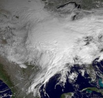
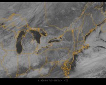
The monster as seen from space. Though not exceptionally deep in terms of central pressure, the storm was on the leading edge of a huge arctic high and to the west of the track in the plains up to Chicago, there was a blizzard.
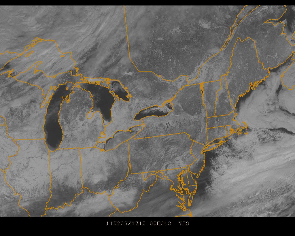
Here is the view from the satellite today of the snowcovered ground.
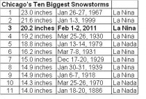
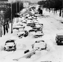
In Chicago Illinois, the storm was the third largest behind 1999 and the big storm of 1967. All were in years with La Nina and a negative PDO following strong El Ninos.
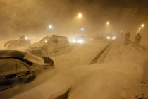
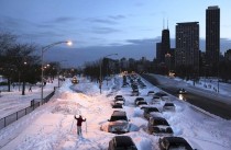
First two photos from Chicago in 2011 then one in 1967 (courtesy of Dr. Richard Keen).
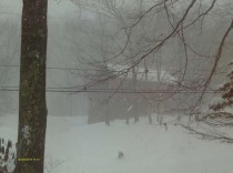
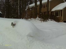
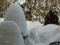
Then some from southern New Hampshire where 14” of snow brought snow depth to between 3 and 4 feet. The first shows walkway to my home with 5 foot mounds.

Here is the snow during the heart of the storm.
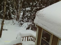
The next is my home before the snow blower did its final pass.
Have to get a snow rake for my roof.
My daughter shoveling snow off my deck to prevent collapse.
Attention Walmart shoppers: this week free snow, help yourself in the parking lot.
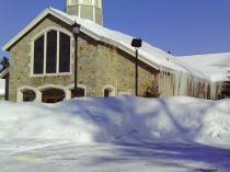
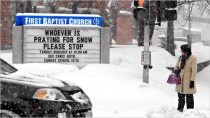
My church.
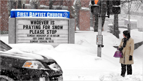
The church photo that has gone viral says it all.
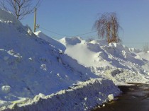
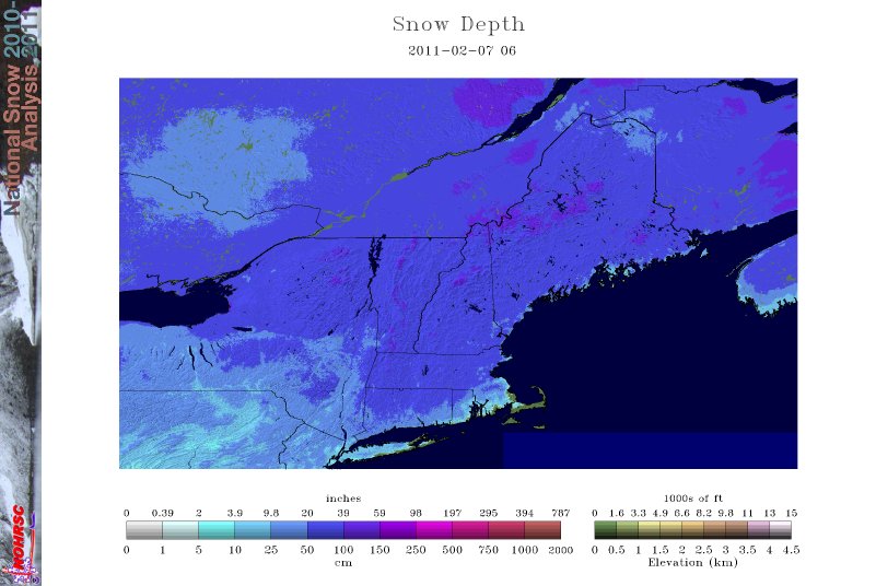
See snow depth for the northeast below. Similar story north central.
See PDF.
More to follow on why this winter has been so snowy and extreme coming next week. Meanwhile you may enjoy Al Gore’s take on what caused this extreme cold and snow. Can you guess?