


By Joseph D’Aleo, CCM, AMS Fellow
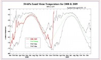
It has been a top ten coldest winters for the first two months of the year in parts of the central states. After a bit of a roller coaster ride with even a warm day or two (first in many weeks) the next week, a major stratospheric warming event that began last month will translate down to the mid and lower atmosphere with amazing high latitude blocking - high pressure. Cooling will start the end of next week and continue the rest of the month at least.
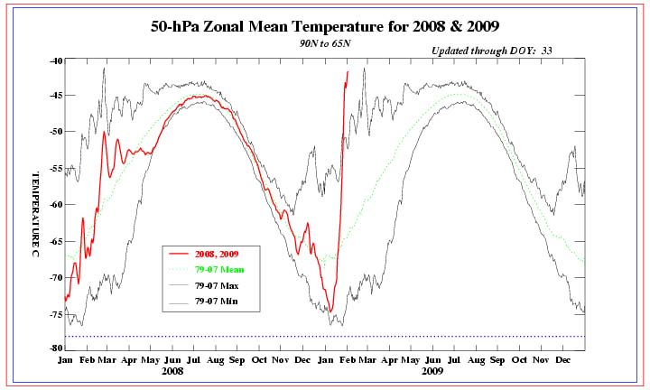
Larger imager here.
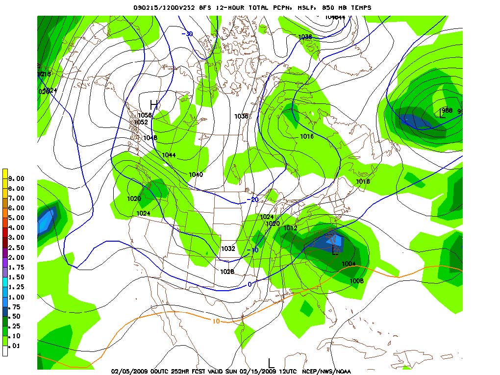
As cold expanding high pressure expands south into the lower 48 next week, it will suppress the jet stream and its associated still active storm track well south resulting in a MEMORABLE wintry weather period that will in the end when taken together with the cold in December and January have this winter remembered as an old-fashioned 1960s like winter. Many places deep into the south and east will see heavy snow and ice while unseasonably cold air dominates across the north.
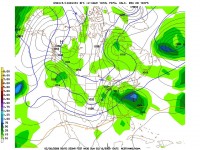
Larger imager here.
In the end the CPC winter forecast from October 16 based mainly on decadal trends (thought to represent global warming) will be a decided bust. Like the stock market, technical traders will tell you, trends can take you only so far. They invariably reverse.
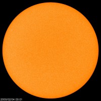
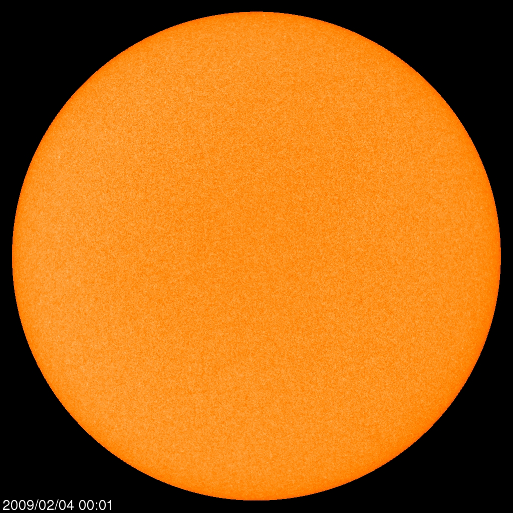
More cold will occur in the UK and all Europe the next few weeks, where the warm winter forecast by the UKMO also never materialized. Very heavy snows will fall in the mountains where it has been a very snowy winter. Even the forecasters in the UK have noted some similarity to the 1960s and mentioned the early 1800s. Surprisingly that is what the low solar (sun still spotless like a Florida orange which ironically Thursday was caked in ice with temperatures down into the 20s -23 in Palmdale) suggests - a return to the early 1800s Dalton like minimum weather.
Larger imager here.
In the end the CPC winter forecast from October 16 based mainly on decadal trends (thought to represent global warming) will be a decided bust. Like the stock market, technical traders will tell you, trends can take you only so far. They invariably reverse.
Larger imager here.
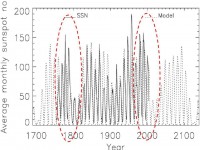
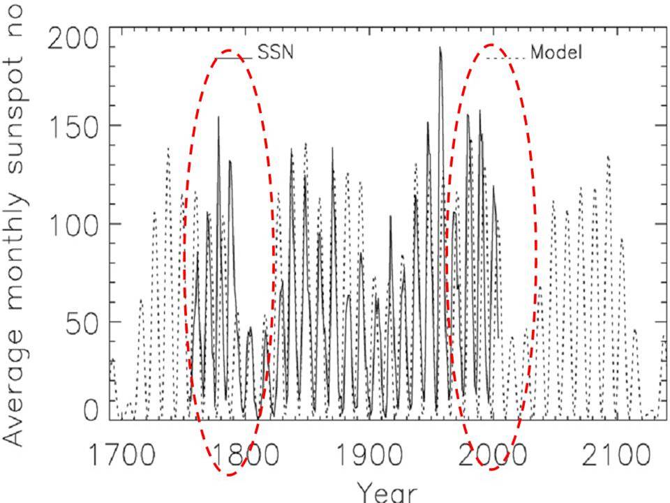
The last four cycles were very similar to late 1700s prior to the Dalton Minimum, which makes sense given the phasing of the 106 and 212 year minima the next few decades (Clilverd et al 2006 forecast shown).
Should Alaska’s Mt. Redoubt blow big soon, that would translate into a cooler than normal summer and another cold winter next year with more blocking like we see upcoming even if a weak El Nino developed. El Ninos do occur in cold PDO phases but are weaker and briefer thus usually colder. Than again if the sun stays quiet, La Nina may not disappear. La Ninas dominate at solar minima. See PDF here.